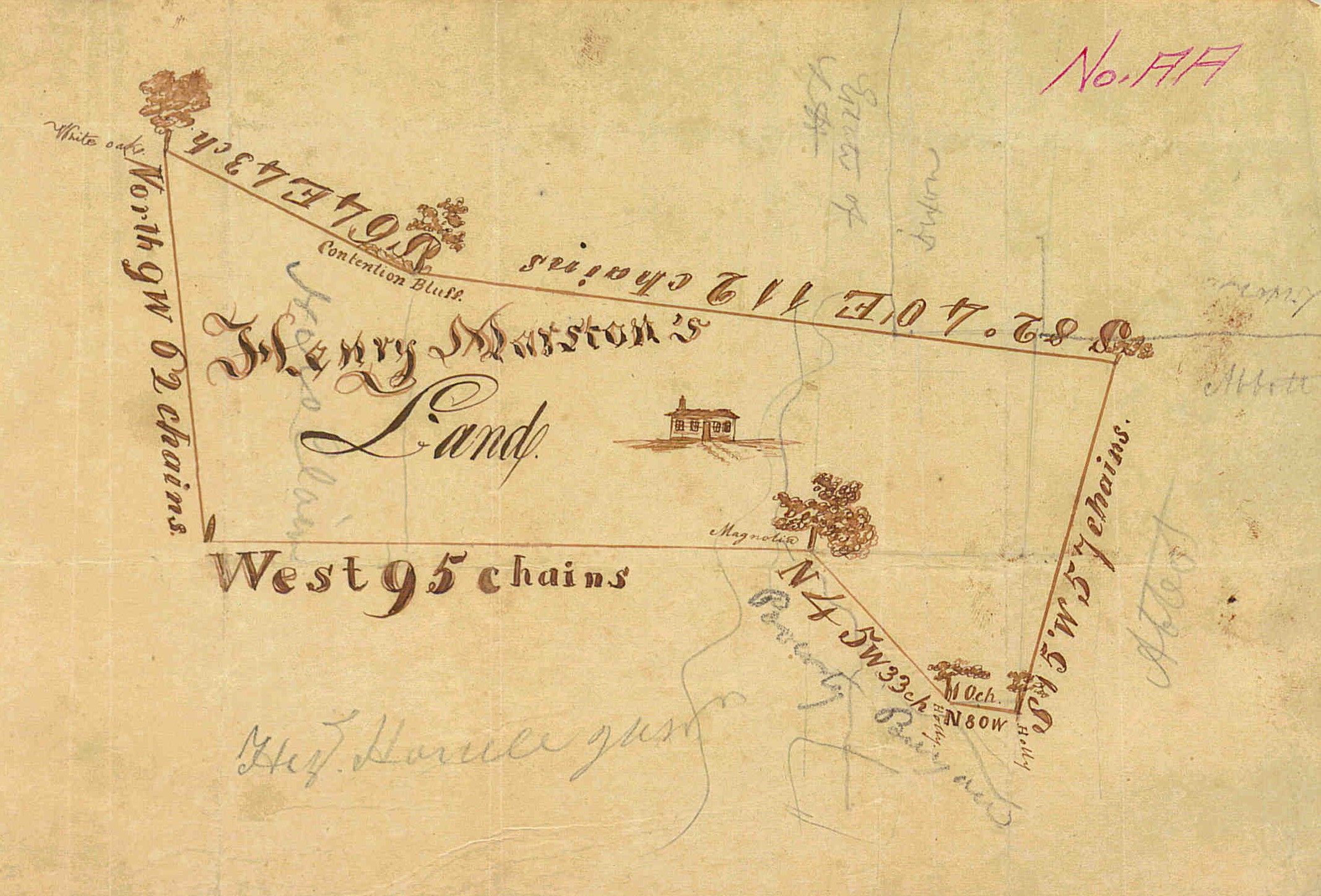
I LOVE maps. Not GPS or GIS, but maps printed on paper, and the older the better. Atlases, survey maps, geographical maps, plat maps, navigational charts, subdivision plats, and sometimes even topographical maps. Each type of map shows different data that can be helpful in your family history search.
Maps show how people lived in, and experienced, their world. They can be used to explore narratives and illustrate family histories. Plat maps and historical atlases often show locations of cemeteries, churches, schools, and even sawmills, in addition to names of property owners and the locations of their houses. If your ancestor lived in a town or village, these historical maps will show businesses (and some landowners). They help build a picture of the community in which your ancestor lived. Tracking your ancestors on maps in different years can show you the growth of the community and how the changes may have affected your family.
City maps can be used in conjunction with census records and city directories to map a neighborhood. Sanborn Fire Insurance maps can show the physical changes to a house or business. And maps that record you ancestor’s place of origin can be used with passenger list records to chart immigration to the United States. What port did the ship leave from and how far did your ancestor have to travel to get to that port? And where did they arrive in the U.S.? Maps can be used to illustrate an immigration story.

There are, of course, mapping software and apps available, in both free and paid versions. You can use these to make your own maps to document migration routes, land ownership, how often your family may have moved, or other information relevant to your ancestors. If you are interested in using GIS technology to map your family, check out this “Google Earth for Genealogy” article.
Here are some sites to explore historical maps available online. Have fun mapping your family!
- https://www.nypl.org/locations/schwarzman/map-division
- https://www.loc.gov/collections/sanborn-maps/about-this-collection/
- https://maps.lib.utexas.edu/maps/map_sites/hist_sites.html
- https://www.davidrumsey.com/ (You do not have to purchase items to look at the maps, but cannot download them)

Here is an interesting article about exploring wine country through the use of historical maps.
https://blogs.loc.gov/maps/2023/12/exploring-wine-country-through-cartography/?loclr=liloc
LikeLike